Portfolio of Work
This page outlines specific projects in my professional work highlighting GIS, Data Analysis, Project Managment and Sensor Maintenance.
Tyler’s Portfolio PDF
Linear Referencing System (LRS) / Database Management
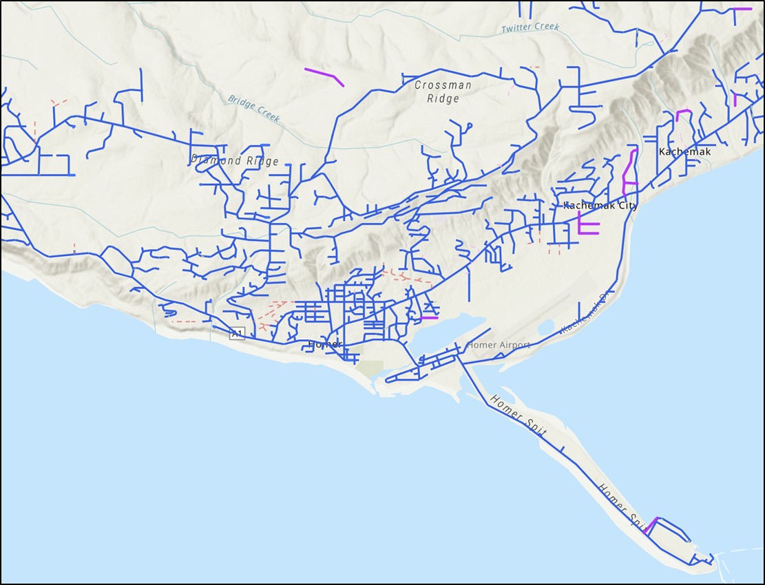 View of Routes in Homer, AK
In my current role, my team is responsible for maintaining Alaska DOT&PF’s Linear Referencing System (LRS). This is a powerful information model designed to record public roadways and all associated attributes as linear events in GIS. Through the LRS, the state can garner insights about our roadways and roadway assets quickly, answering questions such as:
- How many lane miles of roads in a congressional district?
- How many stop signs in an urban area?
- How many vehicle miles travelled (VMT) across the state? We also coordinated the updating or addition of 18 assets to the LRS, a tremendous expansion of available data for reporting.
This roadway data is public and most of it can be viewed using this web map: https://akdot.maps.arcgis.com/home/item.html?id=0642c35270ba418e95dd61756ccf1b7b
Alaska Geospatial Council - Transportation Working Group
 Alaska Geospatial Council Page
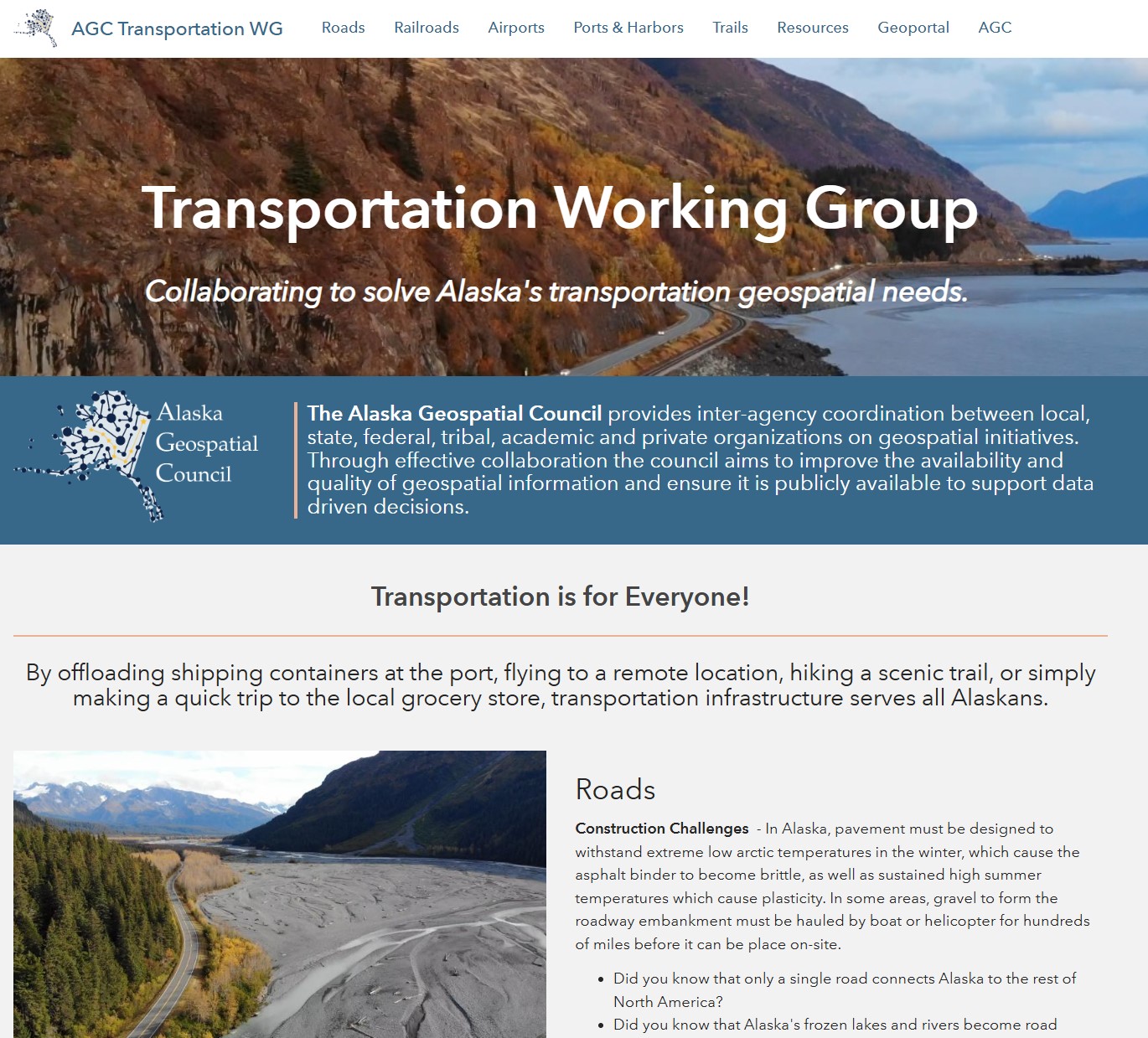
In 2024, I was granted the opportunity to co-chair the Alaska Geospatial Council Transportation Working Group. The goal of this group is to coordinate both public and private efforts across the state to better serve Alaska’s transportation needs. The Alaska Geospatial Council is a great opportunity to coordinate with others across Alaska.
The Transportation Working Group page can be viewed here: https://agc-transportation-soa-dnr.hub.arcgis.com/
Alaska Winter Sidewalk Maintenance Priority Map
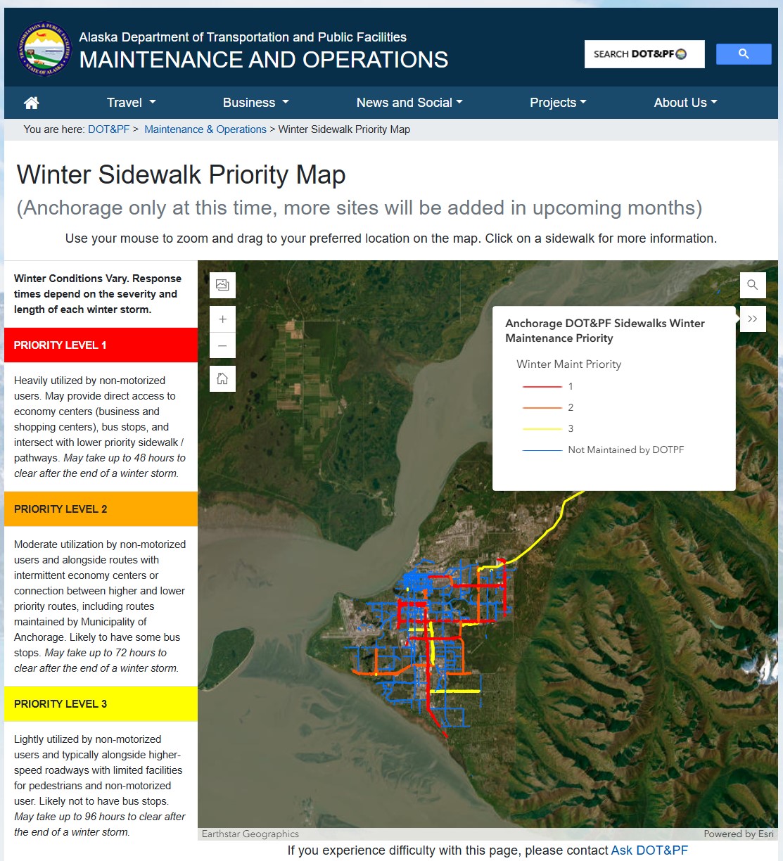 Anchorage Winter Sidewalk Maintenance Priority Map
At the request of our commissioner, I created a brand new dataset showing the winter maintenance priority levels of sidewalks across Anchorage. This data clearly shows the extent of DOT&PF’s maintenance of sidewalks in Anchorage, and when the public can expect them to be clear after a winter storm. This data also enables planners to clearly communicate the level of maintenance needed across our sidewalk network, unlocking new potential for resources. Similar maps are in progress across the state.
The Anchorage map is public and can be viewed here: https://dot.alaska.gov/stwdmno/wintermap/sidewalks.shtml
Traffic Sensor Maintenance
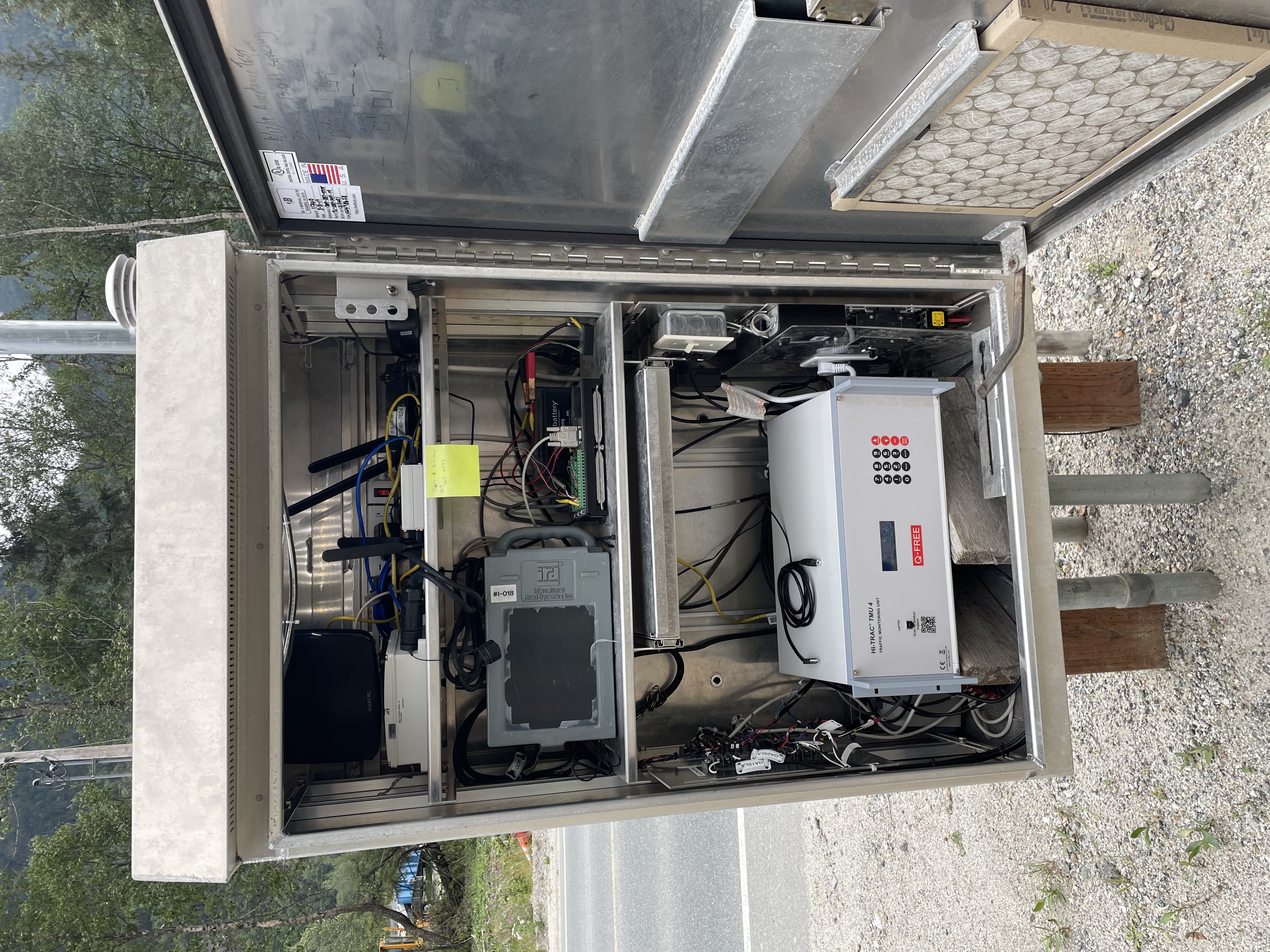 A Traffic Cabinet loaded with Equipment
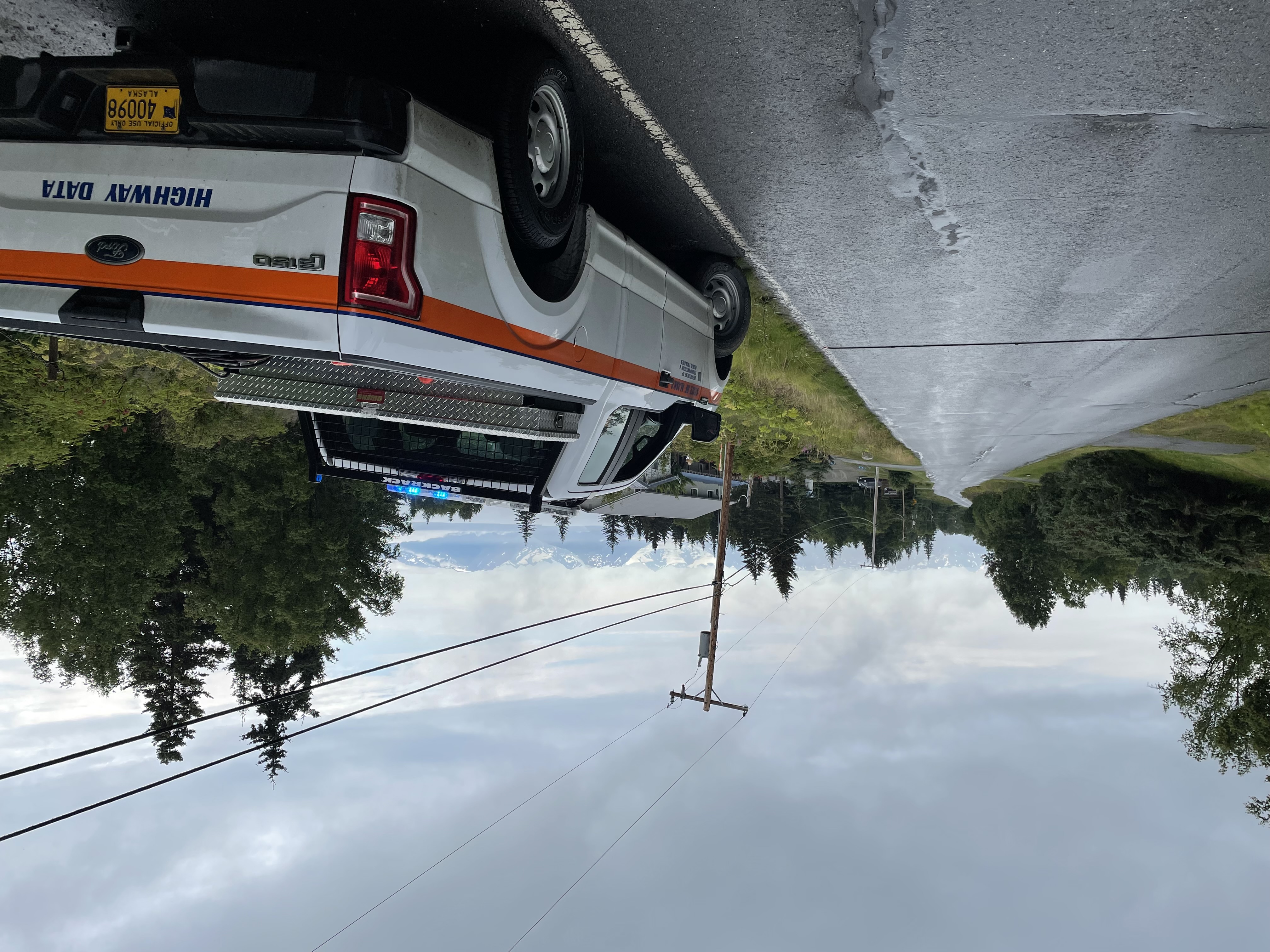
In my first two roles with DOT&PF, I was trained in maintenance and calibration of roadside traffic sensors. The continual operation of these sensors was essential to our traffic monitoring program and necessary for federal reporting.
Traffic sensors come in a variety of forms and are within the roadway. They connect to a roadside cabinet, where work and maintenance can be performed. By making adjustments, observing traffic or performing controlled testing, these sensors can record accurate vehicle presence, volume, classification, or weight.
This work had to be carried out year-round, rain or shine, and often in winter conditions.
Fish Passage Culvert Mapping
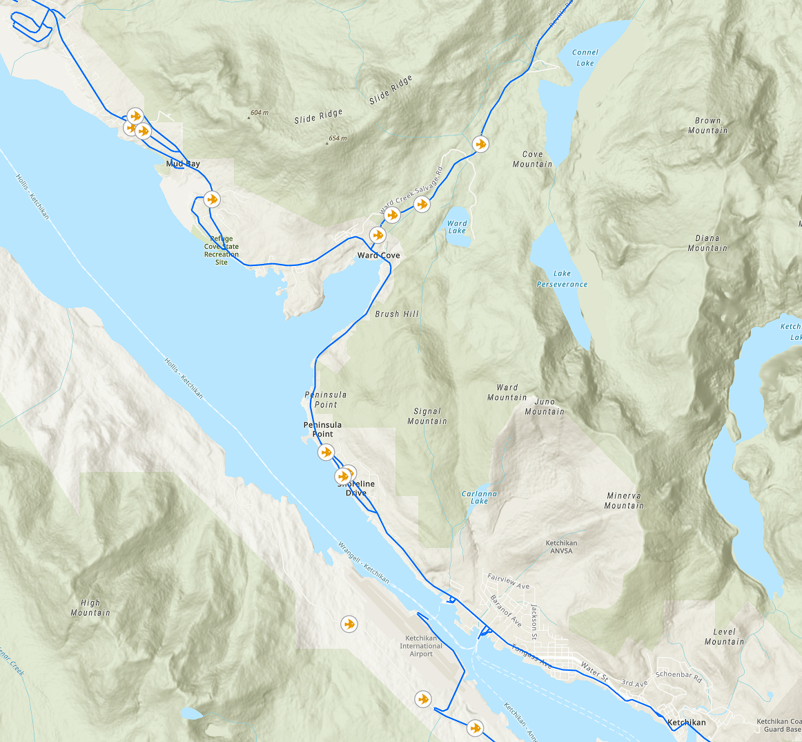 Fish Passage Culverts in Ketchikan
At the request of a Regional Planner, I combined Alaska Department of Fish and Game fish passage culvert data with DOT&PF’s road network data. I produced a novel feature class that showed a basic inventory of fish passage culverts along Alaska DOT&PF maintained roadways. Presenting the data in this way enabled the Regional Planner acquire grant money for fish culvert replacement. This grant award allowed new maintenance to occur to the benefit of Alaska and its fish population.
A copy of this map can be viewed here: https://akdot.maps.arcgis.com/apps/mapviewer/index.html?webmap=43ca8f236fe5413cba4ec7ea9e81ca1f
News of the award can be seen at Alaska Public Media: https://alaskapublic.org/news/2023-08-16/alaska-to-receive-federal-funds-for-fish-friendly-culverts
Geospatial Environment Maintenance
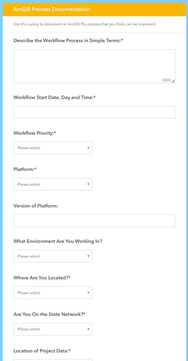 Survey 123 Form
When working with ArcGIS Pro, my team faced with workflow slowdowns, crashes and other difficult problems. I made this survey tool to better help us communicate our performance problems. When communicating with network or software support, we needed to be able to answer complex questions for them to properly assess the situation. With the help of this tool, we were equipped to answer their questions and work toward a better solution. The response data can also be exported for large scale analysis.
This survey form can be viewed at this URL while on a State of Alaska network connection: https://survey123.arcgis.com/share/086f80dfa89341ddb2c93a862ebb431d?portalUrl=https://AKDOT.maps.arcgis.com
Workflow Documentation
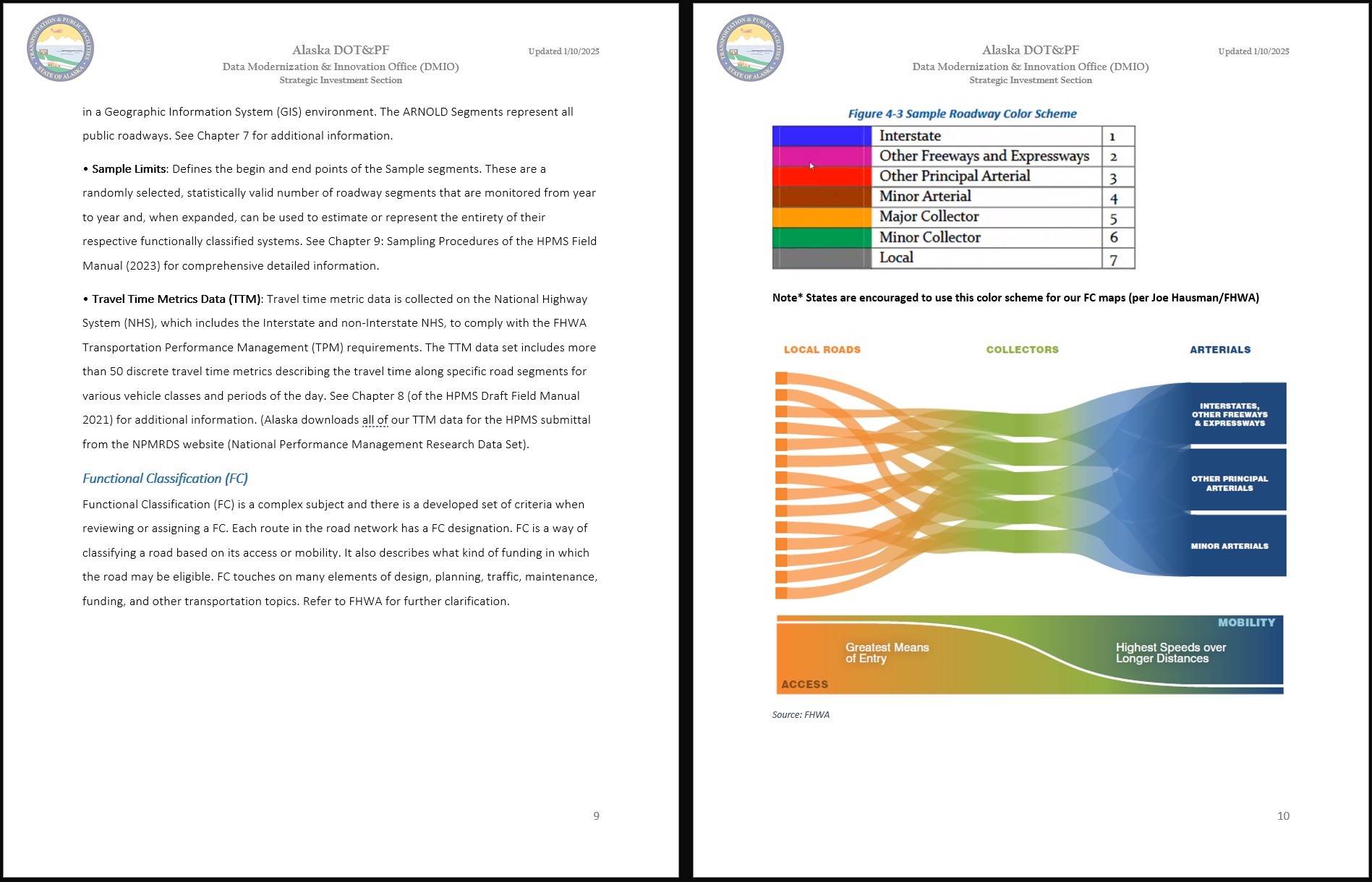 A Desk Manual
Documentation is very important for teams to coordinate workflows, build efficiency, and help ensure knowledge transfer. Documentation has been an important part of my work at Alaska DOT&PF and I have taken steps to create new documentation in every role to ensure that workflows and processes are clearly communicated to ensure knowledge transfer. Seen in the picture above is an image from the Highway Performance Monitoring System (HPMS) Desk Manual that I started in 2022. This manual has become a living document updated by subsequent members of the team and helps record the complex minutiae of the HPMS workflow.
Public Process Information Outreach
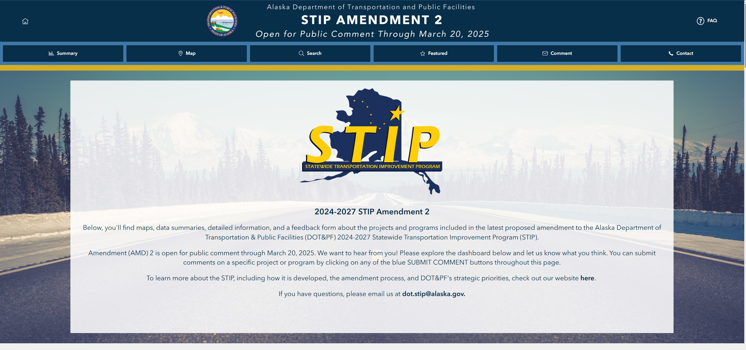 STIP Dashboard Page
My team has worked extensively on several dashboard products for use by the public. The most notable are related to Alaska’s Statewide Transportation Improvement Program, or STIP. These dashboards help the public interact with and learn which projects are in the STIP, what they will cost, when they will take place and other information. They are also able to render public comment all within the newest dashboard.
Public involvement facilitated in part by these dashboards was recognized by the American Association of State Highway and Transportation Officials (AASHTO) with an award in 2024: https://dot.alaska.gov/comm/pressbox/arch2024/PR24-0032.shtml
Data Integration
 Data Integration
Data integration has been a primary duty during my time with Alaska DOT&PF. Examples include:
- 2020 Traffic Data Migration to Drakewell’s C2 Platform
- 2021-2024 Continual Improvement and Curation of Alaska HPMS data
- 2024-2025 Integration of 13 new asset classes and refinement of five existing asset classes into Alaska’s Roads and Highways Geodatabase for internal and public use Data integration requires complete knowledge of the target data as well as vision for a unified view. GIS work incorporating new sources into new schemas and making them public is a good example of this work because it requires data cleaning, quality control, and accurate reporting capability.